
Woburn ZIP Code Coverage
Woburn has one ordinary delivery ZIP and one related alternate postal code documented in USPS scheme material. The ordinary ZIP is the useful starting point for a current Woburn mailing address. The alternate code should be verified through USPS before it is used in a search, because the research does not establish a separate street-by-street area for it. Neither line divides the city into legal neighborhoods. Postal service points and city records use different systems, so the parcel address and map, not a ZIP alone, settle the municipal location.
| ZIP | Areas Covered | Post Office | Notes |
|---|---|---|---|
| 01801 | Main Woburn delivery area; preferred city is Woburn, MA | Woburn Center, 2 Abbott St.; Woburn MA S&DC, 462 Washington St. | USPS location pages show 01801-9991 and 01801-9899. This is the ordinary city ZIP. |
| 01888 | Woburn-associated postal scheme or alternate use | Paired with the Woburn 01801 scheme | Do not assume a separate street geography or a current PO box use without an address-level USPS check. |
USPS can return a recognized city name for a ZIP, but that result is a delivery convention. It does not prove that a person, a company, or even a particular building is at the address. Add the street and unit when more than one result is possible. The City of Woburn’s parcel systems use the physical property address, called the situs, and map, block, and lot instead.
Why 01888 Appears in Woburn
Postal materials pair 01888 with Woburn and 01801, even though 01801 is the ordinary delivery identity. That pairing is a local quirk, not proof that Woburn contains two equal delivery territories. The research could not capture a live USPS city-and-state results list that defines every current 01888 use. Treat it as an alternate or scheme code until USPS validates a specific address. This matters when a record contains a ZIP but no street number, because the postal code alone may be too broad to place the record on the ground.
It also helps to separate a mailing name from record geography. A Woburn postal name can point to a delivery station rather than the incorporated city. Conversely, a historical reference to Woburn may concern territory that later became Wilmington, Burlington, or Winchester. Those places separated from the older Woburn territory in 1730, 1799, and 1850. For older family, deed, or directory work, a current ZIP is not a substitute for the date and the historic jurisdiction.
Check Woburn Postal Details with USPS
The official USPS postal lookup provides three useful ways to check postal information: search an address, search by city and state, or ask which cities are recognized for a ZIP. City-and-state mode requires both fields. Address mode calls for a street address and city/state, while company, apartment or suite, and ZIP can supply extra detail. Use the most complete address available, especially for a unit or a street with a common name.
| Field label | Type | Required | Options or format notes |
|---|---|---|---|
| Street address | Text | Yes, in address mode | Enter the street address with city and state. |
| City and state | Text or selection | Yes | Used for address lookup and the city-and-state lookup mode. |
| Company | Text | No | Optional address refinement. |
| Apartment or suite | Text | No | Add when multiple delivery points share the street address. |
| ZIP | Five-digit text | Required for cities-by-ZIP mode; optional refinement in address mode | Returns recognized cities for the postal code. |
USPS cautions that a result does not confirm who is at an address or that a listed address is an actual business location. It is a delivery check, not an occupancy record. Keep that boundary in mind before moving to Woburn’s local parcel sources.
See the USPS address-and-ZIP lookup in use below. Its search choices support postal verification, while the next record steps require a physical address or parcel identifier.
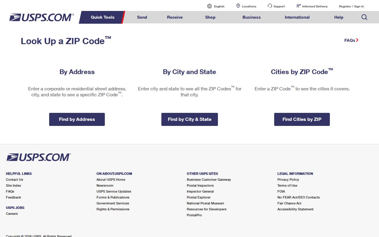
The USPS screen illustrates why a city, address, and ZIP should be checked together before interpreting a Woburn postal result.
Narrow a Woburn Postal Search
A ZIP narrows a starting area, but Woburn’s local parcel portals do not offer a confirmed ZIP-wide result mode. The Assessor database supports location/address, owner, and parcel-identification-number searches. WebGIS supports name, address, or map, block, and lot. For a ZIP-wide question, verify the address with USPS, then work from each known Woburn address or ask Assessing for the appropriate records or parcel-data route. Do not describe a list assembled this way as a complete list of residents.
- Check the street address and postal city through USPS, including a unit when one is known.
- Use the address in the Woburn assessor database or WebGIS to obtain the physical parcel and map, block, and lot.
- Read the assessor card for the owner, mailing address, description, assessment information, and any listed parcel identifiers.
- Use the parcel address and owner name in the deed index only when ownership history is the question.
- For a larger public-records request, state the address range, record type, and date range rather than claiming that the ZIP itself is a searchable resident roll.
Once a ZIP check leads to a particular road or address range, the Woburn street directory is the better route for the address-by-address record chain.
Woburn Parcel Keys After a ZIP Check
The City of Woburn separates postal information from property keys. A parcel is the identified piece of land used in city property records. In the Woburn Assessors database, the documented entry points are location/address, ownership, and parcel identification number. Public parcel pages advertise photographs, detailed property descriptions, and assessed values. The source review found no confirmed ZIP field in the live assessor welcome page. A ZIP search should therefore stop at the postal check and pass a real address to the assessor rather than inventing a ZIP filter that the portal does not show.
For mapping, Woburn WebGIS accepts name, address, and property ID in map, block, and lot form. That difference is useful: the assessor card supplies the current valuation record, while WebGIS places the parcel among streets, wards, zoning, flood, and utility layers. The city warns that map lines and measurement values are approximate. Boundary questions need the legal description, plans, and, when necessary, a certified survey.
The MassGIS ZIP boundary material is pictured below. It uses approximate polygons, which reinforces the need to verify a Woburn address with USPS and local parcel records instead of drawing legal conclusions from a colored ZIP area.
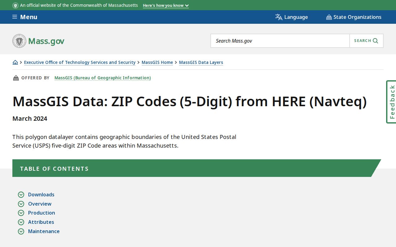
The MassGIS view is useful for broad orientation, but it does not replace the street-level map, assessor card, or deed description attached to a Woburn parcel.
Woburn Voter Status with a ZIP
Massachusetts uses a five-digit residential ZIP as one required field in the state voter-status form, along with first name, last name, month, day, year of birth, and an agreement that the user is checking only that person’s own record. The result can show status, party enrollment, ID requirement, polling location, officials, City Clerk contact, and the last update date. That is an individual check, not a way to browse everyone in a Woburn postal area.
| Record route | ZIP role | What it can establish |
|---|---|---|
| State voter-status form | Required five-digit residential ZIP for the individual’s own check | That voter’s displayed registration status and election information. |
| Woburn local voting or street list | Request is framed by election year, ward/precinct or street, and format | A dated civic list subject to copy rules and protected-voter limits. |
| Central voter registry | Not a public ZIP-search source | State law restricts general access to names and addresses in the central registry. |
The contrast is important. Local lists can be requested from the Woburn City Clerk and Board of Registrars for a stated year, ward, precinct, or street. The central registry is restricted under G.L. c. 51, § 47C, and protected voters may be omitted. A list is dated civic information, not a live count of every person on a block.
Woburn Postal Limits
ZIP boundaries are delivery geography, not municipal limits. MassGIS says its ZIP areas are approximate and based on a 2018 HERE street-centerline product combined with then-current USPS source material. USPS does not maintain an official ZIP map. A Woburn mailing city may identify a delivery station, and a ZIP area can cross a city line. Use the city’s parcel map, deed legal description, and dated ward map when the city or jurisdiction matters.
- ZIP code
- A five-digit postal routing code used to direct mail, not a map of a city’s legal boundary.
- ZIP+4
- The basic ZIP plus four added digits that narrow delivery to a smaller segment, building, or set of addresses.
- PO box ZIP
- A postal code used for post-office boxes; it does not automatically identify a street delivery area.
- Carrier route
- A mail-delivery grouping used by the Postal Service. It is not a resident roster or a parcel boundary.
Woburn Records Before ZIP Codes
ZIP codes do not solve an old-address problem. Woburn’s Glennon Archives holds maps that can bridge changing streets and jurisdictions: an 1831 plan, an 1875 atlas, an 1883 bird’s-eye view, Middlesex atlases from 1889 and 1906, a 1899 boundary atlas, a 1915 map with 1924 additions, and a 1930 historic-sites map. Sanborn maps cover 1867 through 1971. The research found no official citywide table assigning street-renumbering dates, so compare a directory page, map label, deed description, and current GIS result instead of assuming that an old number still means the same parcel.
Older Woburn references require one more check. Colonial Woburn included territory that later became Wilmington, Burlington, and Winchester. A family or property record outside today’s city limits may still say Woburn because of the period in which it was created. The current ZIP helps with modern delivery only; the record date and its original jurisdiction lead the historical search.