
Following a Woburn Street
For a Woburn street-by-street search, begin with the physical parcel rather than a name alone. The city assessor ties the current location to an owner and parcel identifier. WebGIS then makes it possible to place that parcel among nearby lots. The deed index supplies title history, while a dated voting list or historical directory can add limited evidence about people connected to the address. None of those sources is a complete household roll. They are useful because each has a separate date, keeper, and purpose.
- Enter the address in the Woburn Assessors database. Record the situs address, owner, mailing address if shown, parcel identification number, and fiscal date.
- Search the same address in Woburn WebGIS. Turn on parcel boundaries and use the adjacent polygons to orient the segment.
- Use the parcel owner, property address, legal description, or book and page to search the Middlesex South land-record index for the latest conveyance.
- For a dated civic list, make a written request to the Woburn City Clerk and Board of Registrars for the needed year, ward, precinct, or street. The statewide voter-status form is only for the individual voter.
- For an older household, check the Historical Commission directory index or Glennon Archives address material. Match the directory date to the deed and parcel evidence before drawing a conclusion.
The sequence is also a quick error check. A tax mailing address can be elsewhere, a deed can show title without occupancy, and a directory entry can show an occupant without proving ownership. Keep the record date beside every name. Note: Parcel map measurements and lines are approximate, so use a deed or survey when a boundary matters.
Woburn Street Directory Parcels
The Assessing Department keeps Woburn ownership information, property characteristics, and statutory exemption information for each parcel. Its public database supports location or address, ownership, and parcel-identification searches. A parcel card is a current property record, not a promise that every person at the address will appear. In particular, the situs is the physical property address, while the mailing address is where tax correspondence goes. Woburn also measures owner of record on January 1 for the fiscal year, so an early bill can lag a later deed.
| Assessor field | Input or result | How it helps a street search |
|---|---|---|
| Location or address | Optional text search | Finds a Woburn parcel by its street location. |
| Ownership | Optional owner-name search | Tests spelling and initials for the recorded owner. |
| Parcel identification number | Optional text search | Connects a map, block, and lot reference to the parcel card. |
| Parcel result | Public card or link | Can display a photograph, detailed description, and assessed value. |
| ZIP search | Not confirmed | No ZIP-wide search mode was confirmed in the inspected portal. |
The public assessor search shown below is the right place to capture the parcel key before moving to deeds. The live portal advertises photographs, property descriptions, and assessed values alongside the property search.
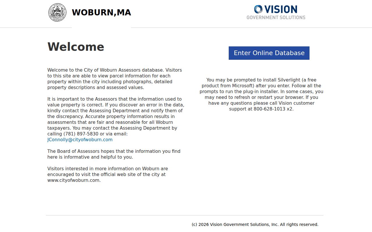
Use the result as a starting point for the Woburn street directory, then compare its date and address roles with the deed and directory evidence. An exemption or a mailing address can be informative, but neither establishes every occupant.
Woburn Street Directory Maps
Woburn WebGIS supplies the spatial half of a street-by-street search. Its search box accepts a name, an address, or a map, block, and lot property ID. The viewer includes an aerial basemap, parcel information, layer controls, a legend, measuring tools, sketch tools, and printing. City materials say the available layers can include assessing data, streets and utilities, wards and precincts, zoning, flood information, and other city data. Search the address first, zoom in, then click the target and nearby parcel polygons one at a time.
There is no confirmed one-click whole-street or formal-neighbor result in the inspected WebGIS instructions. For a longer Woburn street, work through successive addresses, visually inspect the parcels, and ask Assessing whether an abutters list is available if a municipal process needs one. Measurements help make a working map, but city guidance treats them as approximate. They do not replace a legal survey or an official abutters determination.
- Parcel
- A mapped unit of real estate that the assessor tracks for tax and property purposes.
- Situs address
- The physical location of the parcel or building, distinct from an owner’s mailing address.
- Plat or plan
- A recorded drawing that can show lots, street layout, or subdivision references.
- Criss-cross directory
- An address-arranged directory that points from a house or street to listed occupants.
For Woburn street records from another era, retain the map, block, and lot plus the deed legal description. Those keys survive better than an address when a street spelling, city boundary, or house number has changed.
Woburn Street Ownership Clues
Ownership and occupancy should remain separate columns in a Woburn address-research notebook. The current owner is generally the grantee on the purchase deed, and the seller is the grantor. In MassLandRecords, choose Middlesex South, select the appropriate recorded-land or registered-land mode, and try Property Search with Woburn selected as the town. If the address does not return a result, use the assessor owner name, legal description, plan, or book and page. Recorded land commonly uses book and page; registered land uses document and certificate numbers.
The Middlesex South recorded-land search is shown below. Its menu includes name, document, book, property, recorded-date, and unindexed-property modes, with separate options for registered land and plans.
Searches, viewing, printing, and downloading are free according to the Registry’s current portal. The Registry reports that scanned grantor-index pages for 1896 through 1973 became available online in 2025, a useful bridge when a modern result needs an older owner trail. Certified copies require a Registry request and fee.
Comparison: a deed gives evidence of title, while a historical address directory can give a dated occupant entry. When they differ, do not force them together. An owner, seller, estate, or remote mailing address may explain the difference, and the next dated document is often more useful than a guess.
Woburn Street Permit Evidence
Address-keyed records can also date changes along a Woburn street. Inspectional Services handles building, plumbing, and electrical permits as well as code enforcement. The city says an issued-permit list includes contractor name, address, and phone, but no complete public address-search form or historical coverage date was located. Request a specific file through Inspectional Services or the city Records Custodian. Give the street address, approximate date range, and permit category rather than making a broad request.
The property trail can include municipal lien certificates, recorded plans, mortgages, discharges, tax takings, easements, and releases. A municipal lien certificate records unpaid taxes, assessments, or utility charges connected to a property. It is title context, not a list of people. The library’s home-history method also points researchers to permits and Water Department or Public Works clues, but utility customer names are not a public address list.
Woburn Street Voting Lists
Massachusetts law distinguishes a personal voter-status check from a local street list. The state’s voter registration status form requires a first and last name, date of birth, five-digit residential ZIP, and an agreement that the user is checking their own record. It is not a Woburn street browser. For a dated city list, contact the City Clerk and Board of Registrars at 10 Common Street with the election year, ward or precinct, street, desired format, and whether an active or inactive list is needed.
Under G.L. c. 51, § 55, city voting lists are arranged by ward and precinct and, where practical, by street and numerical address. They can show voter name, residence, and party enrollment. Section 7 describes a broader street-list format for public officers. The central registry is not a general public record under § 47C, and protected voters may be omitted. An inactive status can reflect a missed local census return, not proof that someone moved away.
Woburn Historic Street Records
For a prior address, use the Woburn Historical Commission’s digitized city-directory index. It offers dweller-name paths, selected house-street address sequences, and entire-year page sequences. Explicit online runs include 1868, 1871, 1874, 1877, 1881, 1884, 1887, 1895, 1906, 1908, 1915, 1919, 1925, 1932, and 1937. Address indexing is not complete in every year, so the full scanned volume may be the route when a street path is absent.
Glennon Archives adds local directories, polls and persons lists from the 1880s forward with gaps, telephone books from 1952 forward, census microfilm, maps, and Sanborn fire-insurance maps from 1867 through 1971. These records are not a current address list. Their value is dated context: an occupant name, occupation, an owner or renter mark where printed, an older street label, or a building footprint. The historical collection itself is described more fully on the Woburn city directory page.
Note: Copy the original spelling and address from the page image before making a modernized note about it.
Woburn Street Record Coverage
A reliable Woburn street-by-street check uses several narrow records instead of pretending that one source lists every household. The chart separates what each address-keyed source can show from the route for getting it.
| Address record | Custodian | Street-level evidence | Access route |
|---|---|---|---|
| Assessor parcel card | Woburn Assessing | Owner, situs and mailing addresses, value, description, photo, exemptions | Free portal; office assistance for corrections |
| WebGIS parcel layer | Woburn Engineering GIS | Parcel geometry, map/block/lot, nearby parcels, wards, and map layers | Free viewer; map or plot-plan request |
| Deed and plan index | Middlesex South Registry | Grantor, grantee, title transfers, legal descriptions, liens, and plans | Free online image access; paid certified copies |
| Voting or street list | Woburn Clerk and Registrars | Dated voter names, residence, and party enrollment, subject to protections | Written local request; statewide registry restricted |
| Permit and code file | Woburn Inspectional Services | Work-site address, contractor or owner, and event dates | Address-specific records request |
| Directories and maps | Historical Commission and Glennon Archives | Historical occupants, street context, and building footprints | Digital index, library holdings, and archive help |
Use the same street spelling and number variations across the table. The assessor and GIS records are current-facing; the Registry creates the title chain; city requests and archive collections fill the access gaps that a search form cannot.
Woburn Street Continuity
Old Woburn records need a geography check. Colonial Woburn once included areas that later became Wilmington, Burlington, and Winchester, which separated in 1730, 1799, and 1850. A family or property reference filed under older Woburn may therefore fall outside today’s city line. The city has maps from 1831, 1875, 1883, 1889 and 1906, 1899, 1915 with later additions, and 1930 that help bridge a historical location to the present map.
The library’s house-history guidance also warns that street names can change. No authoritative citywide renumbering table with dates was located, so do not assume that a nineteenth-century number is today’s parcel. Compare the directory page, Sanborn label, old map, deed legal description, and modern WebGIS. This is a Woburn-specific reason to preserve map/block/lot and legal-description notes beside the street address.
Woburn Street ZIP Quirk
Postal geography can mislead a Woburn street search. The ordinary delivery ZIP is 01801, while postal-scheme materials also pair Woburn with 01888. That second code should not be treated as a separate street geography or proof of a person at an address. ZIP codes route mail. They are not municipal boundaries, parcel identifiers, or resident lists. Use the USPS ZIP Code Lookup to verify an address, then return to the assessor or WebGIS for the actual parcel.
MassGIS also warns that ZIP boundary layers are approximate and that USPS does not maintain an official ZIP map. For a Woburn street directory, the map/block/lot and legal description remain better parcel keys than a mailing ZIP. Note: A postal result can confirm delivery formatting, but it cannot confirm present occupancy or legal city limits.
Woburn Street Directory Limits
A Woburn address search cannot identify every person who lives at an address. Property and deed records show ownership or title evidence. Voting lists cover registered voters and can be dated. Historical directories may omit women, boarders, children, and other household members. Public sources do not turn utility customers, delivery customers, or motor-vehicle address records into an address list. The Driver’s Privacy Protection Act limits personal information from motor-vehicle records, and protected voters or Address Confidentiality Program participants can be masked.
When a needed city record is not online, Woburn accepts requests under the Massachusetts Public Records Law, M.G.L. c. 66, § 10. A focused request can be made without a prescribed form and should identify the address and record sought. The city generally responds in writing within 10 business days, subject to the law’s fee and redaction rules.